
Golan Heights
Syrian territory occupied by Israel since 1967
Golan Heights ▸ Facts ▸ Comments ▸ News ▸ Videos
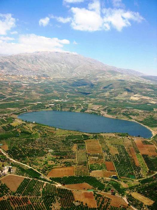
The Golan Heights, or simply the Golan, is a region in the Levant spanning about 1,800 km2 (690 sq mi). The region defined as the Golan Heights differs between disciplines: as a geological and biogeographical region, the term refers to a basaltic plateau bordered by the Yarmouk River in the south, the Sea of Galilee and Hula Valley in the west, the Anti-Lebanon with Mount Hermon in the north and Wadi Raqqad in the east. As a geopolitical region, it refers to the border region captured from Syria by Israel during the Six-Day War of 1967; the territory has been occupied by the latter since then and was subject to a de facto Israeli annexation in 1981. This region includes the western two-thirds of the geological Golan Heights and the Israeli-occupied part of Mount Hermon.
| 0 shares | ShareTweetSavePostSend |
You Might Like
India votes in favour of UNGA resolution that expresses deep concern over Israel not withdrawing from Syrian GolanIndiaTimes - Published | |
Israel retaliates after six missiles fired from Syria towards Golan Heights Six rockets have been fired from Syria towards Israel overnight, according to the Israeli military. Six rockets have been fired from Syria towards Israel overnight, according to the Israeli military.Sky News - Published |
| Search this site and the web: |