
Changtang
North-West Tibet geographic highland
Changtang ▸ Facts ▸ Comments ▸ News ▸ Videos
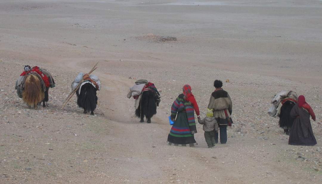
The Changtang is a part of the high altitude Tibetan Plateau in western and northern Tibet extending into the southern edges of Xinjiang as well as southeastern Ladakh, India, with vast highlands and giant lakes. From eastern Ladakh, the Changtang stretches approximately 1,600 kilometres (990 mi) east into Tibet as far as modern Qinghai. The Changtang is home to the Changpa, a nomadic Tibetan people. The two largest settlements within the Tibetan Changtang are Rutog Town the seat of Rutog County and Domar Township the seat of Shuanghu County.
| 0 shares | ShareTweetSavePostSend |
You Might Like
Wildlife board nod for 11 defence projects near LAC in LadakhThe National Board for Wildlife (NBWL) has approved 11 defence ministry proposals for strategic infrastructure in protected Ladakh areas near the LAC with China. This includes building..IndiaTimes - Published | |
Ladakh to have 5 new districts: Zanskar, Drass, Sham, Nubra, ChangthangZanskar, Drass, Sham, Nubra and Changthang are new districts of Ladakh, announces Home Minister Amit ShahDNA - Published | |
Leh Apex body calls off Changthang border marchThe Leh Apex Body (LAB) cancels the planned march to the China border on April 7 due to escalating tensions. LAB advocates for Ladakh's statehood and inclusion in the Sixth Schedule, highlighting..IndiaTimes - Published | |
| Search this site and the web: |