
Thwaites Glacier
Antarctic glacier
Thwaites Glacier ▸ Facts ▸ Comments ▸ News ▸ Videos
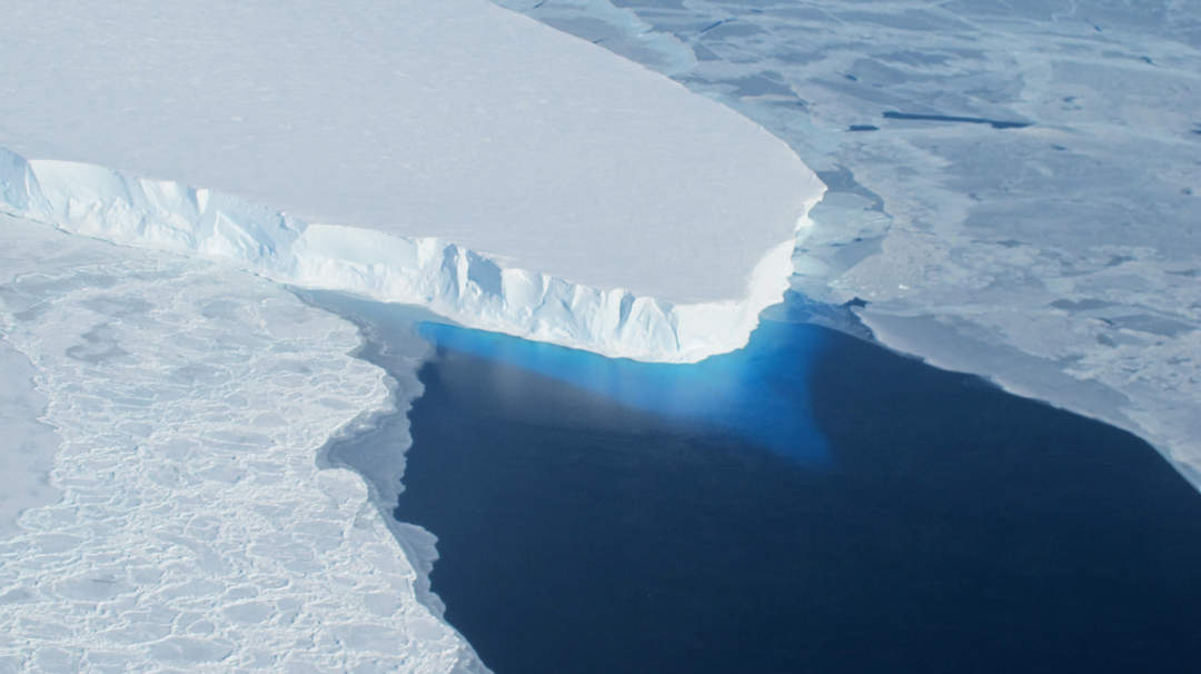
Thwaites Glacier is an unusually broad and vast Antarctic glacier located east of Mount Murphy, on the Walgreen Coast of Marie Byrd Land. It was initially sighted by polar researchers in 1940, mapped in 1959–1966 and officially named in 1967, after the late American glaciologist Fredrik T. Thwaites. The glacier flows into Pine Island Bay, part of the Amundsen Sea, at surface speeds which exceed 2 kilometres (1.2 mi) per year near its grounding line. Its fastest-flowing grounded ice is centered between 50 and 100 kilometres east of Mount Murphy. Like many other parts of the cryosphere, it has been adversely affected by climate change, and provides one of the more notable examples of the retreat of glaciers since 1850.
| 0 shares | ShareTweetSavePostSend |
You Might Like
Scientists divided on radical idea to protect 'doomsday' Antarctic glacier with 62-mile long curtainScientists are designing a radical 62-mile long curtain to protect Antarctica's so-called "doomsday" Thwaites Glacier from melting.Sky News - Published | |
Revealed: Good and bad news for Antarctica's 'Doomsday' glacier Scientists investigating Antarctica's vast Thwaites glacier, where melting ice could push up global sea levels by half a metre, have revealed both positive and gloomy news. Scientists investigating Antarctica's vast Thwaites glacier, where melting ice could push up global sea levels by half a metre, have revealed both positive and gloomy news.Sky News - Published |
| Search this site and the web: |