
SWOT: Earth Science Satellite Will Help Communities Plan for a Better Future
SWOT: Earth Science Satellite Will Help Communities Plan for a Better Future
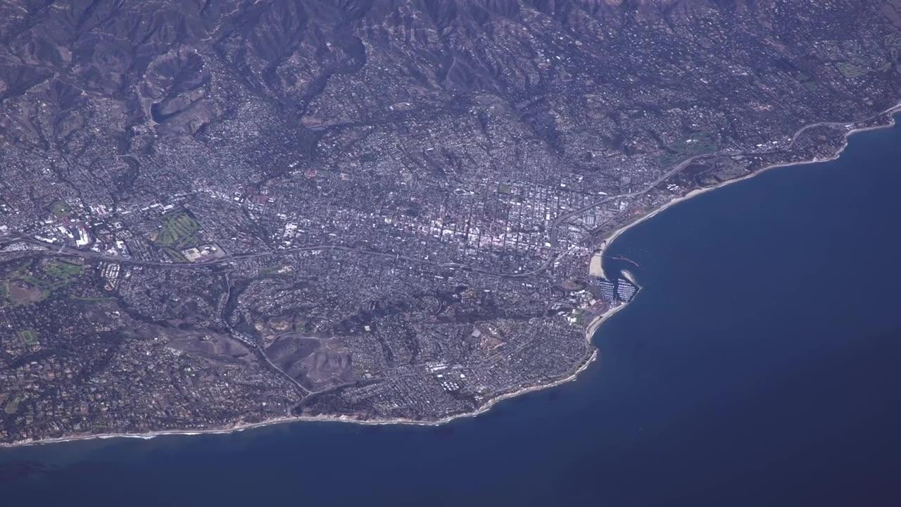
A new Earth science mission, led by NASA and the French space agency Centre National d’Études Spatiales (CNES), will help communities plan for a better future by surveying the planet’s salt and freshwater bodies.
The Surface Water and Ocean Topography (SWOT) mission will measure the height of water in lakes, rivers, reservoirs, and the oceans.
As climate change accelerates the water cycle, more communities around the world will be inundated with water while others won’t have enough.
SWOT data will be used to improve flood forecasts and monitor drought conditions, providing essential information to water management agencies, civil engineers, universities, the U.S. Department of Defense, disaster preparedness agencies, and others who need to track water in their local areas.
In this video, examples of how SWOT data will be used in these communities are shared by a National Weather Service representative in Oregon, an Alaska Department of Transportation engineer, researchers from the University of Oregon and University of North Carolina, a NASA Jet Propulsion Laboratory scientist working with the Department of Defense, and a JPL scientist working with the Louisiana Coastal Protection and Restoration Agency.
:30 - Flood Watches & Warnings - Portland, Oregon 1:08 - Water Management - Fern Ridge Lake, Oregon 2:05 - Protecting Infrastructure - Alaska 2:54 - National Security - Department of Defense 3:24 - Coastal Protection - Mississippi River Delta SWOT is expected to launch from Vandenberg Space Force Base in California in December 2022.
The mission is a collaboration between NASA and CNES, with contributions from the Canadian Space Agency and UK Space Agency.
JPL, which is managed for NASA by Caltech in Pasadena, California, leads the U.S. component of the project.
To learn more about the mission, visit: https://swot.jpl.nasa.gov Credit: NASA/JPL-Caltech/CNES/Thales Alenia Space
![Swot earth science satellite will help communities plan a better future [Video]](https://video.newsserve.net/300/v/20230915/1694806833-Swot-earth-science-satellite-will-help-communities-plan.jpg)
![SWOT. Surface water and Ocean Toography [Video]](https://video.newsserve.net/300/v/20230914/1694735622-SWOT-Surface-water-and-Ocean-Toography.jpg)
![Empowering Communities with Earth Science Satellites: A SWOT Analysis for a Sustainable Future [Video]](https://video.newsserve.net/300/v/20230914/1694716830-Empowering-Communities-with-Earth-Science-Satellites-SWOT.jpg)