Our view from space can help monitor water resources, asses air quality, analyse fire pattern, Track vegetation changes and more. And it help national park service make inform decision for protecting..
From the hoodoos in Bryce Canyon to the caves of Carlsbad Caverns and the giant sequoias of Yosemite, did you know researchers use NASA satellite data in National Parks?

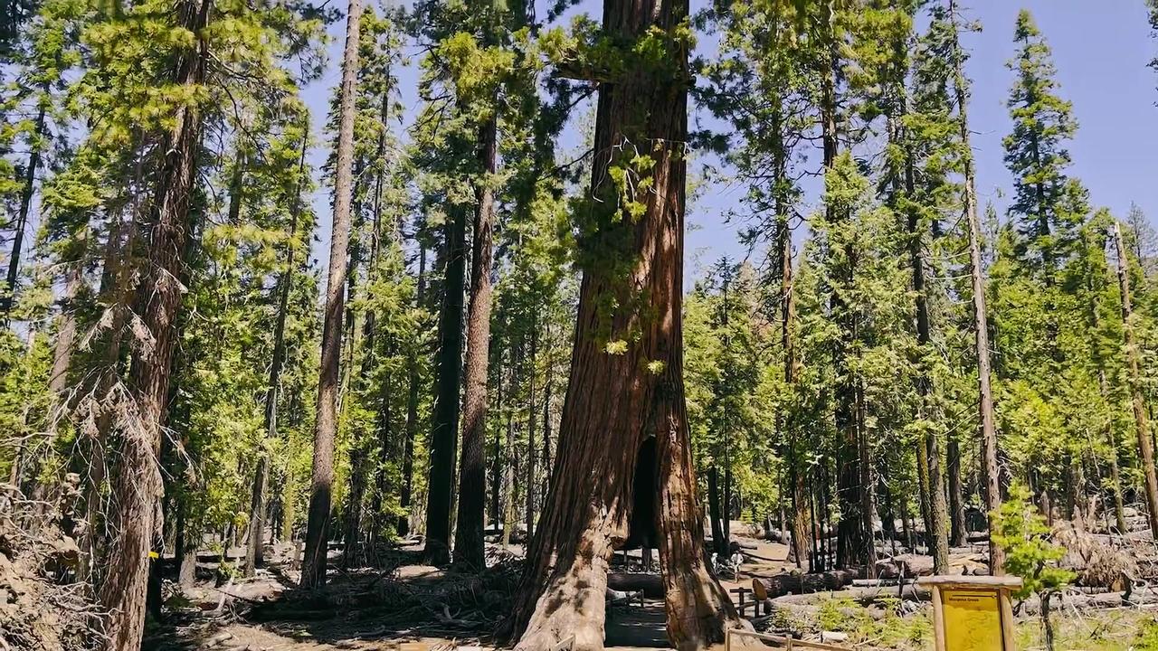 Seeing Setallite Benefits On The Ground With The National Park Service
![Seeing satellite benefits on the ground with the national park service . [Video]](https://video.newsserve.net/300/v/20230928/1695927271-Seeing-satellite-benefits-on-the-ground-with-the.jpg)
![Seeing Setlight Benefits on the Ground with the National park service [Video]](https://video.newsserve.net/300/v/20230922/1695424001-Seeing-Setlight-Benefits-on-the-Ground-with-the.jpg)
![Seeing Satellite Benefits on the Ground with the National Park Service [Video]](https://video.newsserve.net/300/v/20230922/1695381875-Seeing-Satellite-Benefits-on-the-Ground-with-the.jpg)